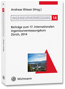
17th International Conference on Engineering Surveying
January 14th - January 18th, 2014, ETH Zürich
Since 1970 the International Conference on Engineering Surveying is alternately hosted by the TU München, ETH Zurich and the Technical University of Graz. It has always been one of the most important and interesting meetings for practitioners and scientists in the engineering geodesy community. Following the proven scheme, 7 half-day tutorials with a strong focus on state-of-the-art and the direct practical applications were offered:
- Methods for spatially dense measurements with applications to recording and monitoring (A. Wieser, Th. Wunderlich)
- Monitoring with terrestrial laser scanning (Th. Wunderlich, J. Ohlmann-Lauber, W. Wiedemann)
- Building Information Modelling (BIM) (S. Stoian)
- Vide assisted tacheometry (Th. Wunderlich, P. Wasmeier, A. Wagner, S. Guillaume, B. Bürki)
- Quantification of uncertainty (GUM) (M. Hennes)
- Monitoring with ground-based radar interferometry (W. Niemeier, M. Lehmann)
- Correct use of modern total stations (Lieh W. Hart, S. Lackner, M. Ehrhart)
The second part of the conference consisted of four blocks of lectures and a poster session with 34 contributions to the following topics:
- Architectural survey and measuring technology
- Engineering Navigation
- Monitoring
- Current Engineering projects

The proceedings are published in VDE Verlag and can be purchased as a external pagebook or eBookcall_made.
